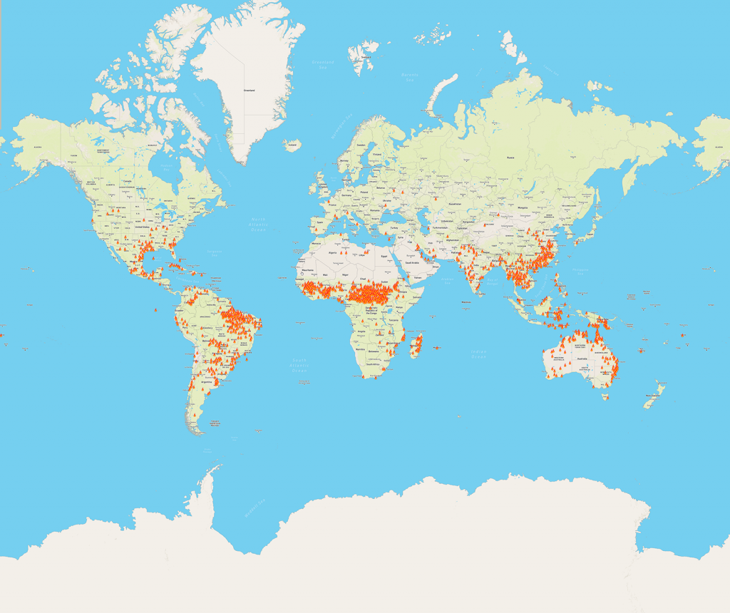
I was browsing the web and came across this interesting map, showing the distribution of bushfires/wildfires worldwide. It seems clear to me that there will soon be few areas of rainforest left in the equatorial region.
When I was doing my undergraduate studies at the University of Tasmania, the head of Botany, Prof Jackson, was fond of saying that in Tasmania the three main causes of bushfire were man, woman and child. I wonder how many of the fires on this map were lit by human intervention vs natural causes like lightning.

There is a stark warning in a recent NewScientist article
“It seems that large-scale clearing of vegetation by humans has created deserts before. Take the now-arid interior of Australia. It was much wetter until around 45,000 years ago. Today’s desert depressions were huge permanent lakes, kept full by strong and wet monsoon winds. Lake Eyre, also known as Kati Thanda, back then extended to around 10,000 square kilometres, but is now usually a dry salt-encrusted plain.
Global climate factors can’t explain the dramatic drying, says Gifford Miller at the University of Colorado. “The only variable that changed is humans colonised the continent.” He and Australian colleagues argue that the most plausible explanation is hunters burning bush to round up their megafauna prey. The loss of vegetation shut down moisture recycling and “weakened the penetration of monsoon moisture into the continental interior”, he says. As a result, today, “precipitation diminishes rapidly inland, to less than 300 millimetres within a few hundred kilometres of the coast”.
That interpretation offers a stark warning for other continents, not least South America. Australians, however, appear not to have learned the lesson. Much of the continent remains a hotspot for deforestation that may explain continuing declines in rainfall. …”


